
The Panama-David Train Could Impact Homes and Jungle Areas: Government Begins the Registration of Properties in the Path
The Panamanian government has begun a technical registry and mapping process for properties, estates, and forest areas located in the proposed “band of influence” for the Phase 1 route of the Panama-David train (from Panama City to Divisa). For more than $718,000, the National Railway Secretariat (SNDF) published the tender to carry out a detailed registration of the structures, crops and forest areas that could be affected by the construction of phase 1 of the Panama-David train project. Each structure will have its exact measurements, photographs, and GPS location recorded. The materials it is made of and its current condition will also be documented.
Key Project & Registry Details
- Responsible Agencies: The Secretaría Nacional de Desarrollo Ferroviario (SNDF) is utilizing specialized contractors alongside the Autoridad Nacional de Administración de Tierras (ANATI).
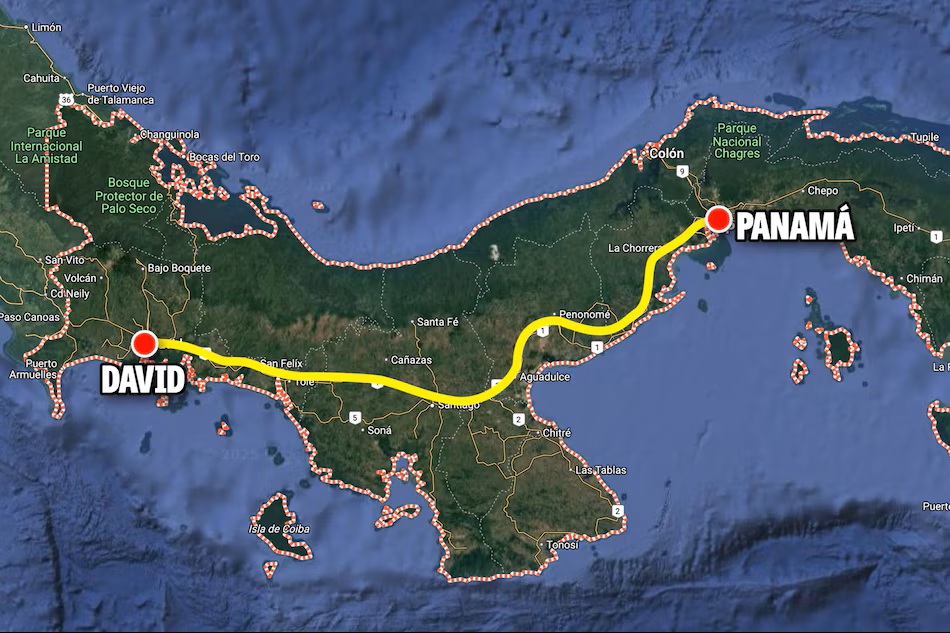
- Phase 1 Assessment: Mapping efforts are primarily focused on the Panama-Divisa corridor to identify specific lots, establish a cadastral database, and determine which parcels of land, fall exactly within the path of the track.
- Environmental & Social Impact: In tandem with the property registry, international firm WSP is conducting Category III Environmental Impact Studies (EsIA) to map, assess, and protect forest areas, sensitive ecosystems, and communities across Panama, Panama Oeste, Coclé, and Herrera.
- Project Scope: The $4.1–$5 billion megaproject spans 475 kilometers to the Costa Rican border, featuring 14+ stations designed to accommodate both passenger trains (up to 180 km/h) and freight trains (100 km/h).
For official updates, public consultations, and tender notices regarding the rail corridor, monitor the Secretaría del Ferrocarril portal or check local procurement opportunities on the PanamaCompra platform.