
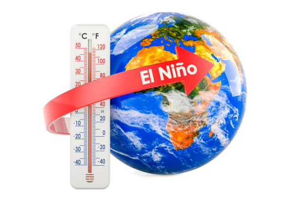
Confirmation from NOAA that the El Niño Phenomenon for 2027 Could Become One of the Worst Since 1950
According to the report, there is a 63% probability that El Niño will reach a very strong intensity between November 2026 and January 2027.

NOAA (National Oceanic and Atmospheric Administration) confirmed that there is a 63% chance the current El Niño phenomenon will strengthen into a “very strong” (or super) event by late 2026. If it reaches this magnitude, the NOAA Climate Prediction Center states it would rank among the largest events in historical records dating back to 1950. Key details of NOAA’s official forecast include:
- 63% Probability: Forecasters project a 63% chance that sea surface temperatures in the key tropical Pacific region will exceed 2.0 C above average during the November 2026–January 2027 window.
- Record Magnitude: A temperature anomaly of this size would officially designate it as a “very strong” event, putting it among the top five most intense El Niños recorded since 1950.
- Rapid Onset: Meteorologists have highlighted the unusual speed with which this event is developing, transitioning rapidly from a La Niña phase.
- Global Weather Shifts: Stronger events significantly tip the odds toward certain weather extremes globally, including heightened drought in parts of Asia/Australia and increased rainfall in the Americas, along with a spike in overall global temperatures.
The El Niño climate phenomenon could strengthen during the coming months to become one of the most intense events recorded in the past 75 years, the Climate Prediction Center of the National Oceanic and Atmospheric Administration (NOAA) warned on Thursday, June 11. The agency issued an official El Niño advisory after confirming that surface temperatures in the equatorial Pacific Ocean have risen above normal levels, one of the main signs that characterize this climate phenomenon.
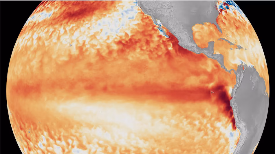
Satellite images showing the difference compared to average sea surface temperatures