

Weather Warning for Rain with Winds and Storms in Panama Until Monday August 24.
The warning covers the provinces and both regions of Panama, as well as the maritime sectors corresponding to the Caribbean and Pacific slopes.

The Institute of Meteorology and Hydrology of Panama (IMHPA) issued a watch for rain, thunderstorms and winds that will be in effect from this Saturday, August 22nd until 11:59 pm on Monday, August 24th, 2026. The warning includes the provinces and both regions of the country, as well as the maritime sectors corresponding to the Caribbean and Pacific slopes of Panama.
Tropical Wave #37 will Increase Instability.
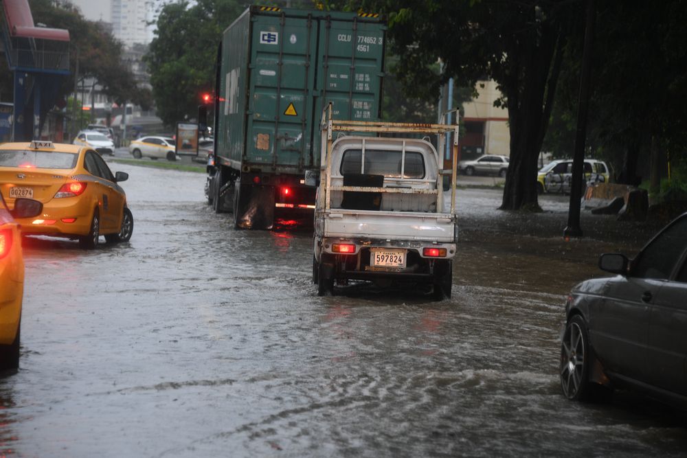
According to the forecast from the IMHPA Hydrometeorological Surveillance Portal, this Saturday, August 22, a new period of increased humidity and atmospheric instability will begin, associated with the arrival of Tropical Wave #37. According to the meteorological agency, this system will favor the activation and organization of different atmospheric systems in the region. As a result, conditions are expected to be favorable for the occurrence of significant rains and storms in different sectors of the national territory during the monitoring period.
Caribbean Maintains Higher Level of Risk.
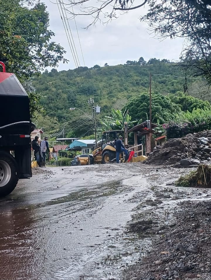
The IMHPA noted that the Panamanian Caribbean region has already experienced incidents related to previous weather events , so the level of risk increases for populations located in that area. Given this scenario, the agency recommended paying close attention to weather conditions and following official updates. For the rest of the country, the call is to remain vigilant and take the necessary preventative measures due to the expected deterioration of atmospheric conditions.
Rainfall Could Exceed 90 Millimeters Per Day.

IMHPA forecasts indicate that maximum rainfall totals could range between 20 and 93 millimeters per day. For the accumulated period of three days, rainfall could reach between 60 and 280 millimeters, depending on the area. These accumulations could lead to a progressive saturation of the soil and increase the risk of incidents associated with heavy rainfall, particularly in vulnerable areas.
Authorities Warn of Flooding and Rising River Levels.

Given the anticipated conditions, monitoring continues for potential events associated with rain and storms, including:
- Flash floods of rivers.
- Landslides in saturated soils.
- Floods in urban and rural areas.
- Cloud-to-ground electrical discharges.
- Gusts of wind.
IMHPA Recommends Following Official Notices.
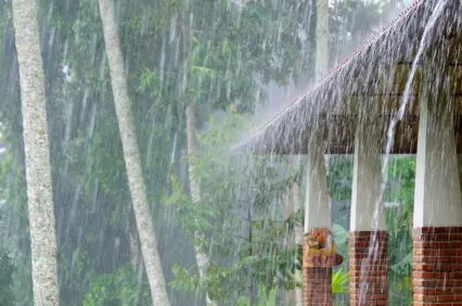
The IMHPA recommended that the public adopt the corresponding prevention measures and remain attentive to official notices from security agencies. Authorities also urge people to pay attention to weather updates during the warning period, especially in areas experiencing heavy rain, thunderstorms, or river flooding.