

Panama Will Face More Heat and Less Rainfall According to the IMHPA
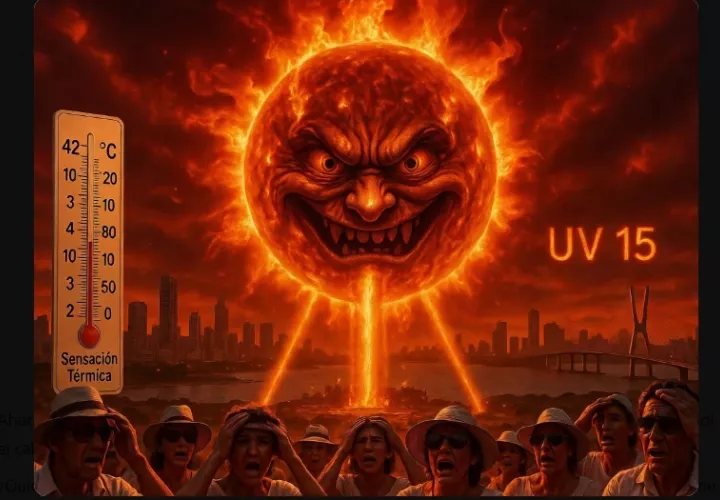
The Institute of Meteorology and Hydrology of Panama (IMHPA) reported that, during the period between August, September and October 2026, above normal temperatures and a decrease in rainfall are expected in much of the national territory. The climate outlook indicates that the warming of the waters of the equatorial Pacific Ocean could intensify during these months, favoring the permanence and intensification of the El Niño phenomenon, with effects on the atmospheric conditions of the region.
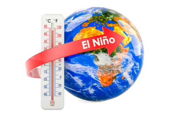
In addition, warmer than usual waters are expected in both the Pacific and the Panamanian Caribbean, which would contribute to the increase in temperatures and the heat index in the country. Engineer Luz Graciela de Calzadilla, general director of IMHPA, explained that, although August, September and October are part of the rainy season, several provinces would register rainfall below the historical average.
Less Rain in Much of the Country
The IMHPA forecasts a decrease in rainfall between August and October 2026 in several areas of the Pacific, with potential deficits of between 20% and 45%. Some river basins are already experiencing drought conditions, so responsible water use is recommended.
Some Regions with More Rainfall

While much of the country would experience less rainfall, areas such as Bocas del Toro, Guna Yala, and mountainous areas of Chiriquí could see above-normal rainfall, increasing the risk of flooding and landslides.
Higher Temperatures
Temperatures are forecast to be between 2°C and 3°C above normal, with a heat index exceeding 38°C in several provinces due to the combination of heat and humidity.
The Dog Days of Summer Could be Prolonged
The period of decreased rainfall within the rainy season could extend for up to 10 days during the first days of August, mainly in the central provinces.