Panama Weather – Rainy Conditions Continue Across the Country: Sinaproc Activates Green Alert
In addition, it was also reported that tropical wave 23 could arrive in the coming hours and contribute to the country’s climatic instability.
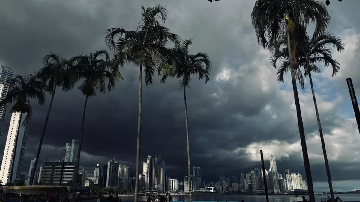
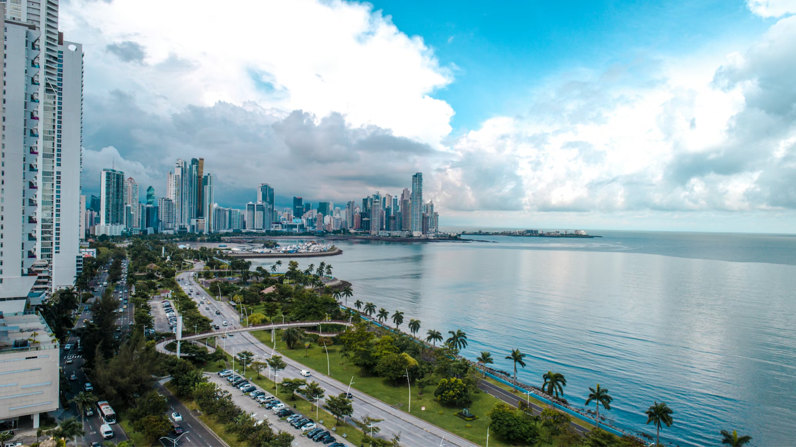
Panama City: The Institute of Meteorology and Hydrology of Panama (IMHPA) warned that cloudy conditions and rain of varying intensity will continue across much of the country, both on the Caribbean and Pacific sides, this Sunday, August 17, 2025. Likewise, a watch remains in effect for the indirect impact of Hurricane Erin, which has already been downgraded to Category 3 but continues to impact the Caribbean region with rain. In addition, it was also reported that tropical wave 23 could arrive in the coming hours and contribute to the country’s climatic instability. According to the Imhpa report, on the Caribbean side, cloudy skies with sporadic rain are expected during the morning.
However, from midday through the evening, an increase in the frequency and intensity of rainfall is expected, with accumulated rainfall between 30 and 50 millimeters, and peak rainfall of up to 70 millimeters, especially from Bocas del Toro to Colón. On the Pacific side, sporadic rains are concentrated in the morning hours in the Gulf and Bay of Panama, northern, eastern, and central Panama, as well as western Panama, Coclé, Darién, the Emberá Wounaan region, and the Gulf of Chiriquí. The rest of the country has partly cloudy to cloudy skies.
Heavier rains with occasional thunderstorms are forecast for the afternoon and early evening, followed by cloudy conditions with intermittent rain in the central and western regions. The highest accumulations are expected in Chiriquí, Veraguas, the mountain range, Coclé, West Panama, East Panama, Darién, and the Emberá Wounaan region, with rainfall between 50 and 65 millimeters and maximums of up to 90 millimeters. For its part, the National Civil Protection System (Sinaproc) declared a green alert throughout the country due to these conditions.